UAV Systems
Professional UAV Services for Monitoring, Mapping and Inspection
Green’s Gaia provides professional UAV services for organizations that need a faster and more effective way to observe land, infrastructure, facilities, and difficult-to-access areas.
Using enterprise drone platforms equipped for thermal imaging, zoom observation, aerial photography, and geospatial recording, we collect detailed aerial information for environmental, agricultural, security, and technical applications.
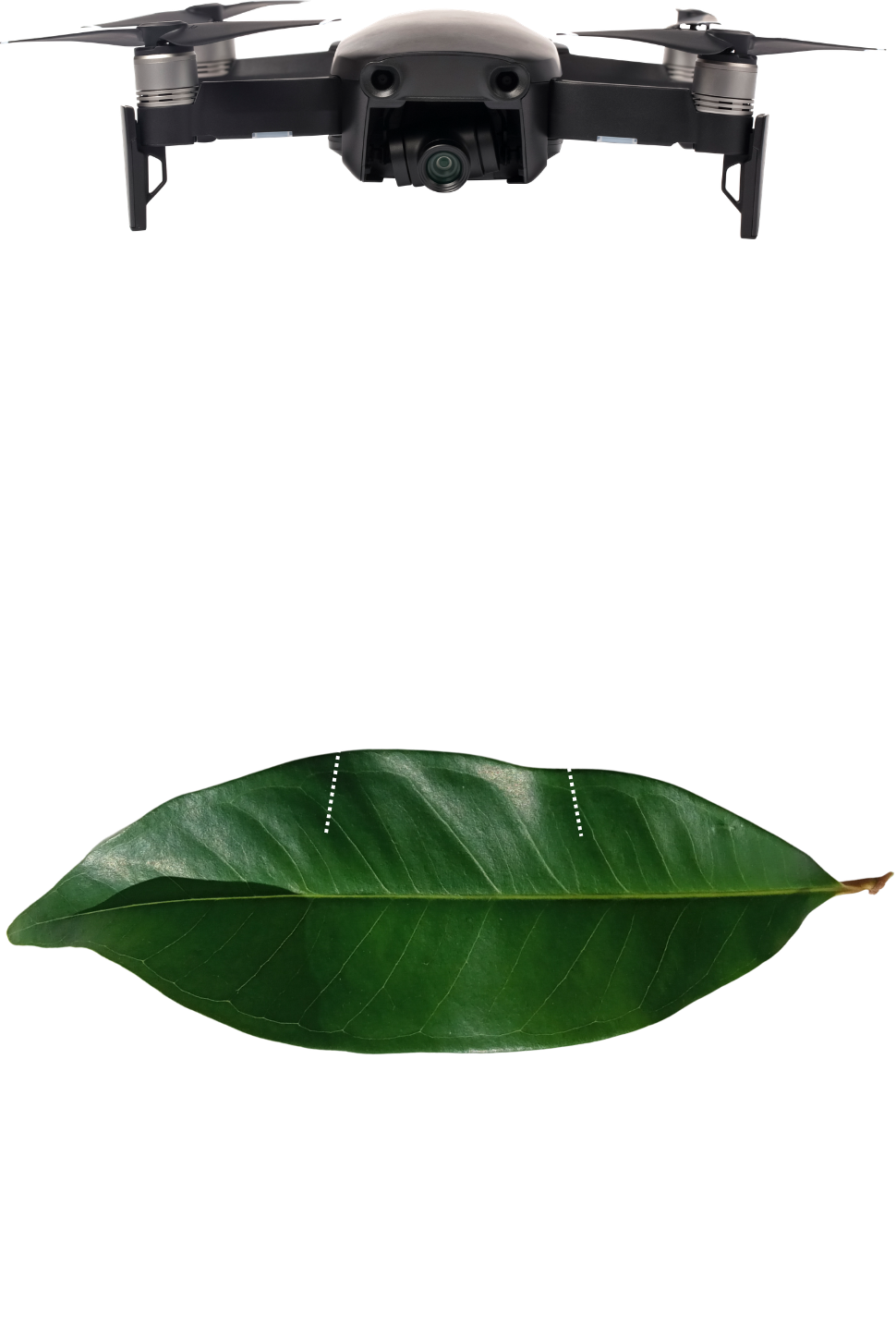
A wider view can reveal what is difficult to see from the ground.
Large areas, remote terrain, elevated infrastructure, and hazardous locations can make conventional inspection slow or impractical.
UAV technology changes the way these areas can be observed.
From a single flight, it is possible to capture detailed visual information, investigate points of interest, record their geographical position, and create imagery that can be used for assessment, documentation, or future comparison.
Green’s Gaia brings these capabilities together through professional UAV operations adapted to the needs of each project.
UAV Services for Different Operational Needs
The same professional UAV platform can support very different missions depending on the sensors used and the objectives of the project.
Forest & Environmental Surveillance
UAVs provide rapid visibility across forests and other extensive natural areas.
Green’s Gaia uses aerial monitoring to support forest surveillance, detection of heat sources, fire-prevention activities, observation of potential illegal activity, and assessment of areas affected by natural disasters.
Where access by land is difficult, aerial observation can provide an immediate overview of conditions across the area.
Thermal Detection
Thermal cameras make it possible to observe differences in temperature that may not be apparent through conventional imagery.
This capability can be used to identify heat sources, hidden fires, overheating equipment, human presence under difficult visibility conditions, and other thermal anomalies relevant to an operation.
Thermal observation can also be combined with zoom cameras when a closer visual assessment is required.
Security & Surveillance
Green’s Gaia can provide aerial surveillance for industrial sites, farms, photovoltaic parks, port areas, construction sites, facilities, and private land.
UAVs allow operators to observe larger areas and investigate specific locations without depending exclusively on fixed cameras or ground patrols.
Operations are carried out subject to applicable aviation regulations, privacy requirements, and personal-data protection legislation.
Mapping an Area from Above
UAVs can do more than capture photographs.
Through geospatial recording, Green’s Gaia can collect geographically referenced information for the creation of maps, orthophotos, and other aerial records.
These capabilities can be used for agricultural land, forests, environmental projects, technical sites, and areas that require periodic observation.
When the same area is surveyed again, new imagery can also provide a visual basis for understanding how conditions have changed.
Mapping capabilities include:
Agricultural Monitoring
Better visibility across the field
Aerial monitoring allows agricultural land to be viewed as a complete area rather than only from individual points at ground level.
Green’s Gaia can use UAVs for crop observation, water-stress monitoring, assessment of plant cover, and identification of areas showing potential problems.
The resulting imagery can help direct attention toward specific parts of a field where closer investigation or targeted intervention may be needed.
Infrastructure Inspection
Reach the difficult parts without putting people
there first
Roofs, photovoltaic installations, tanks, networks, industrial facilities, and other infrastructure can contain areas that are difficult to inspect directly.
UAVs equipped with optical and thermal cameras provide another way to examine these locations.
Green’s Gaia can capture detailed visual information, use zoom observation for specific points, and investigate thermal anomalies such as abnormal equipment temperatures.
The collected imagery can then be used as part of the technical assessment
and documentation of the site.
Aerial Photography
& Videography
Professional UAV imagery can also be used when the objective is documentation, presentation, or communication.
Green’s Gaia provides high-quality aerial photography and video for:
The flight and imaging approach can be adapted according to the location
and intended use of the material.
Rapid Aerial Support
When Access is Difficult
Fires, floods, landslides, and other events can quickly make an area difficult or unsafe to approach.
UAV deployment can provide an early aerial view of the affected location without requiring immediate ground access to every part of the site.
Green’s Gaia can provide aerial imagery for rapid area assessment, field surveys, documentation, and situations where an immediate understanding of conditions is required.
This capability can support situational awareness while complementing established emergency-response procedures.
What Green’s Gaia UAV Services Can Provide
Observe
Gain an aerial overview of land, facilities, crops, forests, and infrastructure.
Detect
Use thermal and optical sensors to identify heat sources, anomalies, and other points of interest.
Map
Collect georeferenced information and produce maps and orthophotos.
Inspect
Examine infrastructure and locations that are difficult or inefficient to access directly.
Document
Create high-quality visual records for technical, environmental, commercial,
or project requirements.
Monitor
Return to an area periodically to observe its condition and document changes.
UAV Systems FAQ
Aerial intelligence for places that need a better view.
Whether the objective is to inspect infrastructure, monitor agricultural land, observe forests, map an area, detect thermal anomalies, or document a site, Green’s Gaia provides professional UAV capabilities adapted to the task.